Toolkit
A shared toolkit for coordinated conservation and recreation decision-making.
Conservation & Recreation Priorities at a Glance
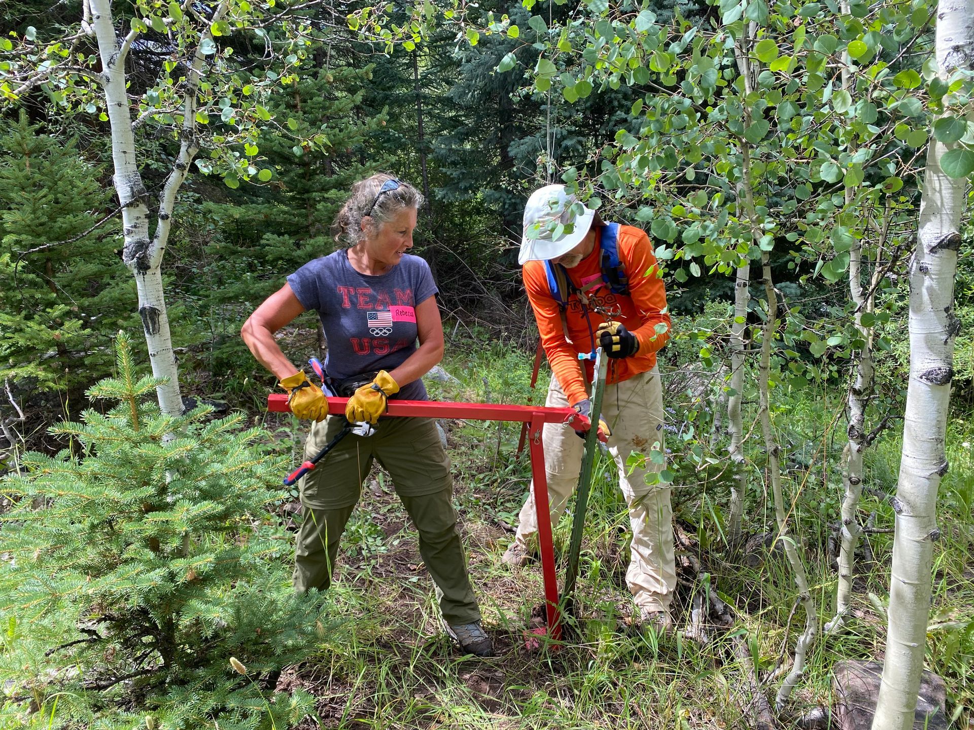
The Roaring Fork Outdoor Coalition brings together land management partners from across the Roaring Fork Watershed to align conservation and recreation planning, ensuring that decisions made today support both ecological integrity and meaningful outdoor experiences for future generations. Across this diverse landscape of municipal and county open spaces, national forests, state lands, and private properties, decision-makers often face overlapping goals, data sources, and management priorities.
This toolkit is a shared resource to inform coordinated, cross-jurisdictional investments into conservation and sustainable outdoor recreation across our region. Developed with input from ecologists, recreation planners, and local stakeholders, the tools provided here form relevant available science and local expertise.
These resources are intended to help land managers, elected officials, nonprofit leaders, and community members answer key questions such as:
- Where are the most ecologically significant areas, and how can we protect and manage them?
- Where is recreation use the highest, and how is it changing?
- Which areas offer opportunities to restore degraded habitats or improve visitor experiences?
- How can we expand access to nature equitably across our diverse communities?
The Toolkit
The toolkit includes a suite of maps, narratives, and evaluation tools that offer a decision-ready framework. It is organized into components that can be used individually or in combination:
Conservation and Restoration Priorities
a science-based classification of land by ecological value and restoration potential
Recreation Opportunity Spectrum
a data-driven framework for understanding how different sites support different recreation experiences and management needs
Maps
a synthesis of conservation and recreation data to highlight priority intersections and identify underserved populations and gaps in recreation access. A Visitor Use Dashboard delivers site-specific insights on use levels and patterns
“How To” Guide
a practical guide to support use of the toolkit’s resources to increase coordination, reduce duplication, and strengthen collaboration across jurisdictions
Watershed Profile
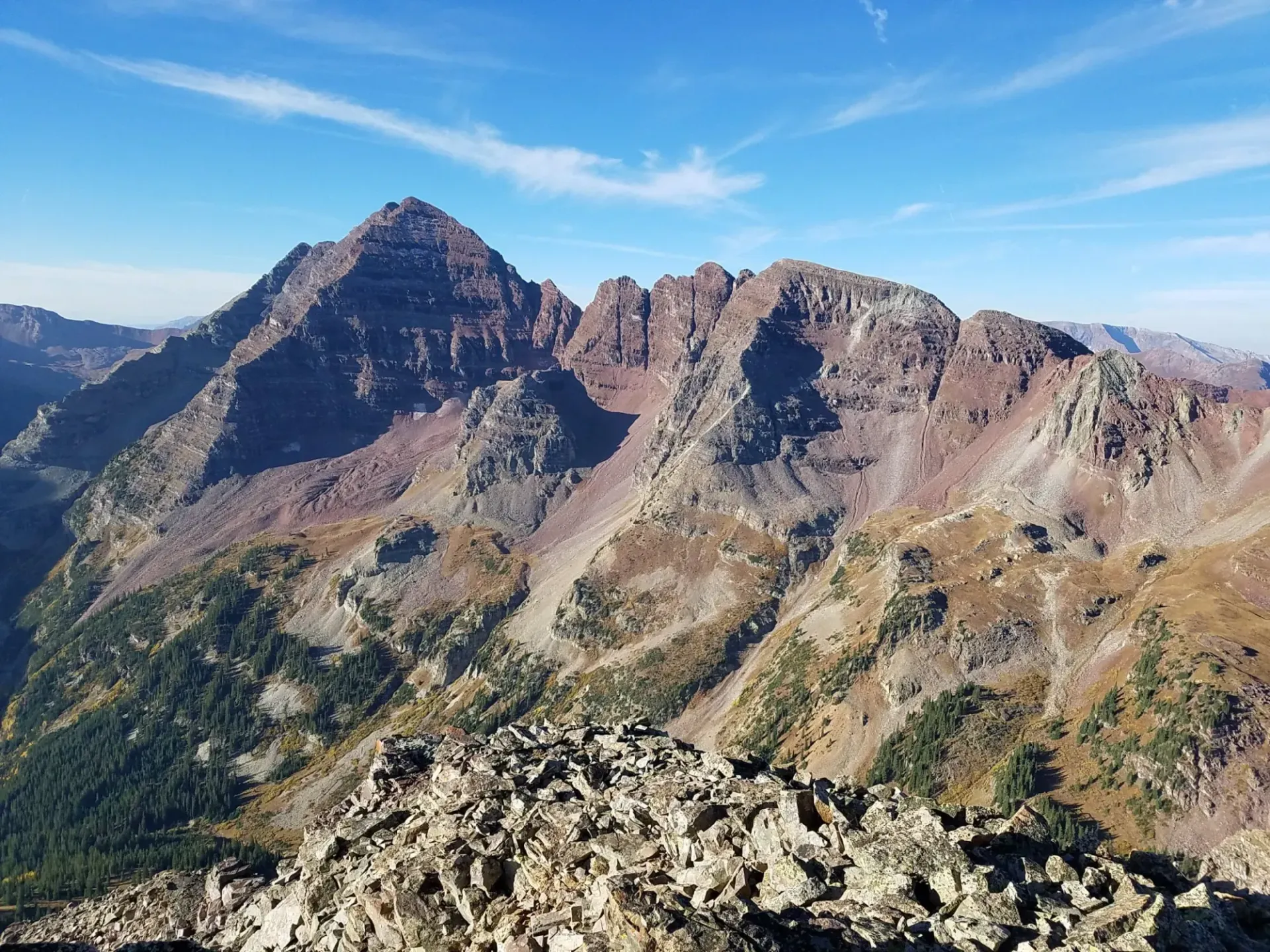
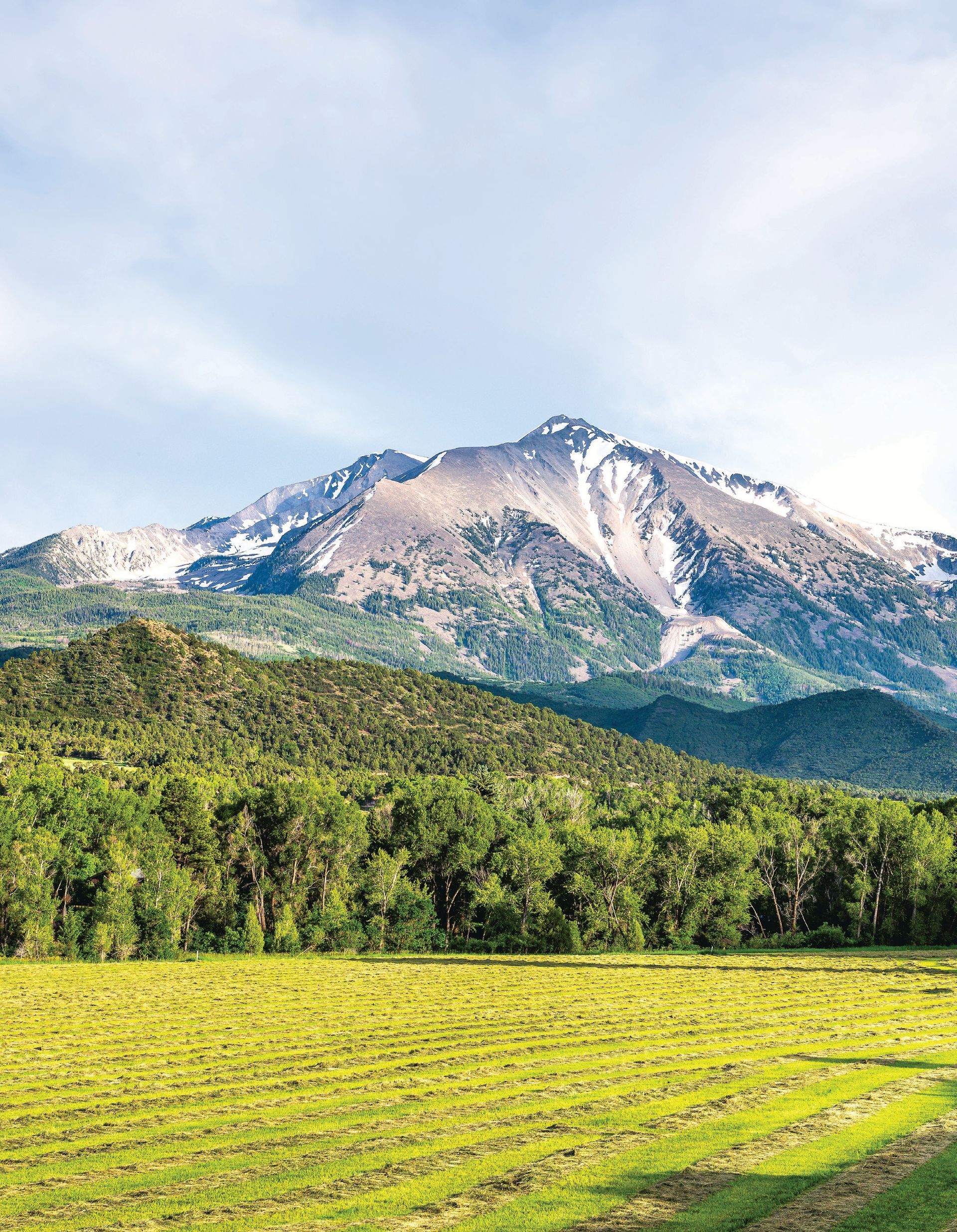
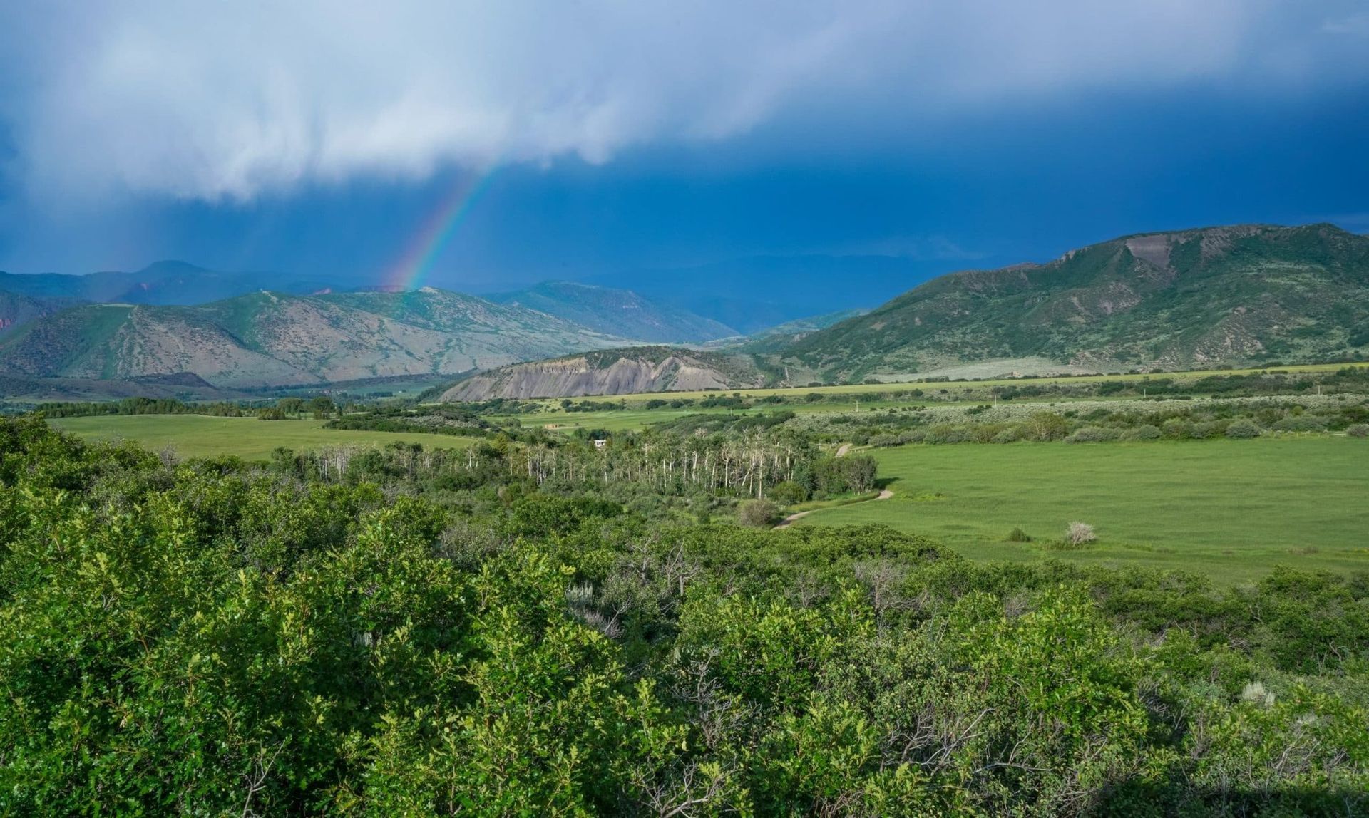
The Roaring Fork Outdoor Coalition focuses its work in the Roaring Fork Watershed, located on Colorado’s Western Slope. The Roaring Fork Watershed begins at the headwaters atop the Continental Divide and runs to the confluence of the Colorado River in Glenwood Springs, and includes the Crystal River and Fryingpan tributaries. The watershed includes lands within Eagle County, Pitkin County, Garfield County, and Gunnison County, the municipalities of Aspen, Snowmass Village, Basalt, Carbondale, and Glenwood Springs, and the unincorporated towns of Marble, Redstone, El Jebel, Meredith, and Thomasville.
43,000
Population of the Roaring Fork Watershed
1,454
square miles in the land area
43%
of the watershed is public lands or protected areas (2024 data)
How Much Land is Protected?
- 652,895 acres of the US Forest Service
- 4,817 acres of Bureau of Land Management (BLM) lands
- 5,910 acres of the State of Colorado lands
- 25 acres of City of Glenwood Springs lands
- 30 acres of the Town of Carbondale lands
- 94 acres of the Town of Basalt lands
- 826 acres of the City of Aspen lands
- 859 acres of the Town of Snowmass Village lands
- 133 acres of Eagle County
- 6,216 acres of Pitkin County
- 1,305 acres of other lands
Additional Resources
Economic Impact of Outdoor Recreation in the Roaring Fork Watershed
Colorado's Outdoors Strategy Resource Hub
The Resource Hub links to a variety of data, mapping tools, and resources to help partners across Colorado access information to inform decision-making in climate-resilient conservation, exceptional and sustainable outdoor recreation, and coordinated planning and funding.
Colorado Recreation Access Map Decision Support Tool
1.2 million Coloradans lack access to open space, parks, trails, and water within a 10-minute walk of home. This tool houses two proximity analyses conducted by Trust for Public Land to determine who does and does not have access to close-to-home recreational resources: a 10-minute walk and a 10-mile drive.
COTREX
Puts information about all of Colorado's trails in your hands, thanks to a collaborative effort by land managers at every level.